Hiking Trails

Overview

More than 18 miles of easy to rugged hiking trails meander through Brown County State Park in Nashville, Indiana. (Bicycles must remain on paved public roads or on the mountain biking trails.)

The trail numbers correspond to the trail numbers on the park & trails map.
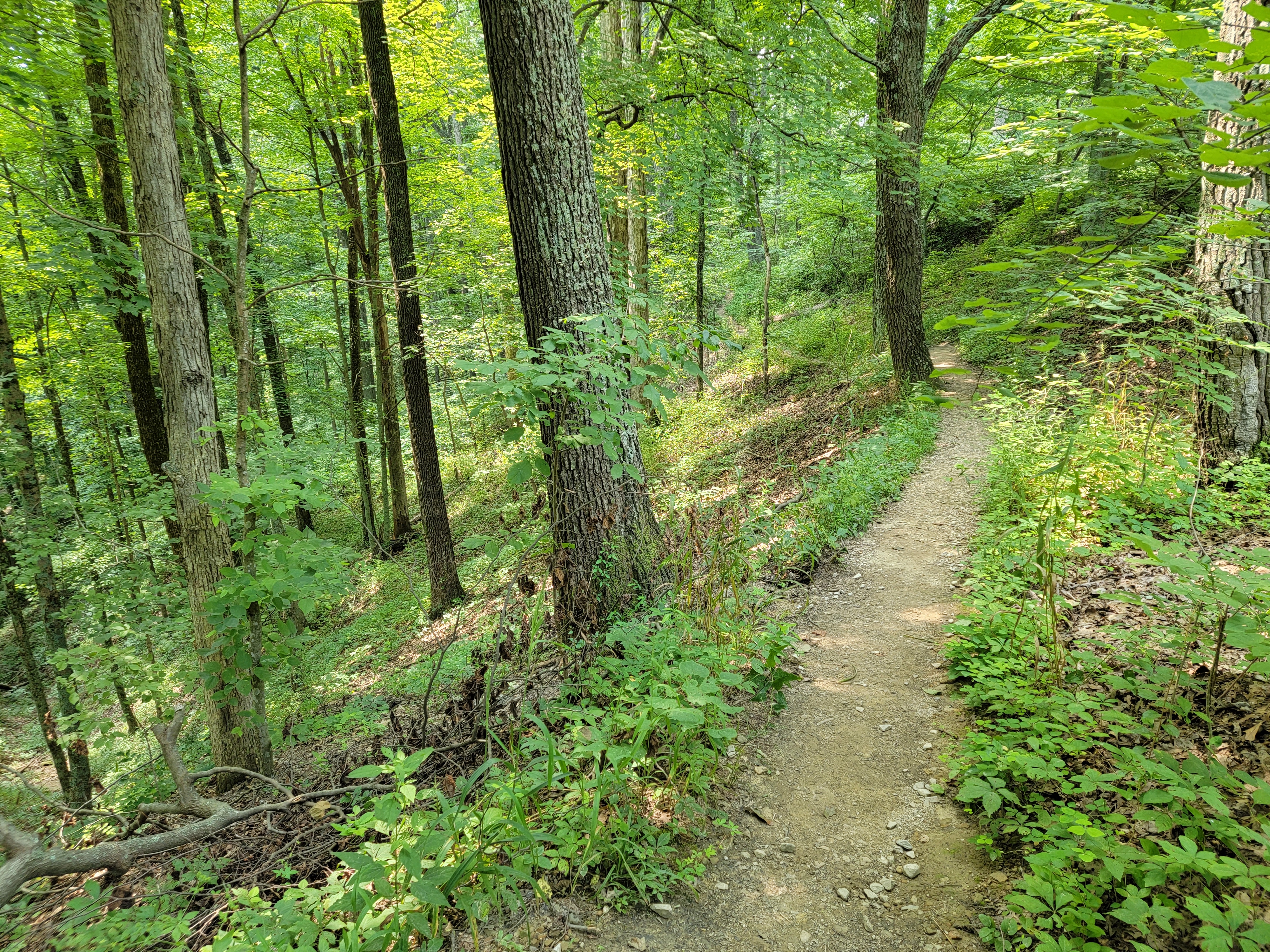
Hiking Trail

Trail 1 - Lodge Trail

0.9 miles - Moderate

This loop trail joins with Trail 2 for a short distance to return to near the Abe Martin Lodge. This trail leads through wooded land where oak, hickory, sassafras, beech and maple may be observed.

Trail 2 - CCC Trail

2.0 miles - Moderate

This is a CCC-built loop trail that passes near the Lower Shelter House and North Lookout Tower. Starting and ending behind Abe Martin Lodge, this trail features impressive stone bridges, stairways and retaining walls.

Trail 3 - Saddle Barn Loop

1.25 miles - Moderate

This loop trail passes the Saddle Barn and amphitheater to return near Abe Martin Lodge. Trail 3 is an interesting trail to observe a variety of topography. A variety of ferns can be seen in the ravines and on the slopes.

In addition, you can enjoy the "Abe Martin Lodge Audio Tour" when you hike this trail. There are 8 tracks (MP3 files) to be downloaded to your MP3 player, as well as a map of the trail (JPEG file):

- Track 1
- Track 2
- Track 3
- Track 4
- Track 5
- Track 6
- Track 7
- Track 8
- Map

Trail 4 - Rally Campground

1.25 miles - Moderate

This loop trail starts near the front of the Rally Campground and leads through upland terrain to a deep ravine at the headwaters of Ogle Lake. It joins Trail 7 for a short distance and meets with Trail 5 at Ogle Hollow Nature Preserve.

Trail 5 - Ogle Hollow Nature Preserve

0.75 miles - Rugged

This self-guided loop nature trail through Ogle Hollow Nature Preserve describes natural aspects of the park. The trail starts near the parking lot for the Rally Campground and continues down a wooded slope, where yellowwood trees exist. The pileated woodpecker has been observed in the area through which this passes. Trail 5 returns near Ogle Lake where it connects with Trail 4.

Trail 6 - Strahl Lake

1.5 miles - Easy/Rugged

The easy part of this trail encircles Strahl Lake. Hikers may enjoy an easy walk around the lake and return to the point of origin near the dam. Or, a challenging 0.7 mile spur trail leads to the Nature Center.

Trail 7 - Ogle Lake

1.5 miles - Moderate

This loop trail enables hikers to explore the shores of Ogle Lake while in a hilly, wooded habitat. Here also, pileated woodpeckers have been known to nest. Trail 7 encircles Ogle Lake and connects with Trail 4 to the east and with Trail 11 to the south.

Trail 8 - HHC Trail

3.5 miles - Moderate

This loop trail extends east from the West Lookout Tower, continues past Tulip Tree Shelter to near Hesitation Point, then leads southwest to the parking area at Ogle Lake and Trail 7. This trail was improved by volunteers from the Hoosier Hikers Council 2002-2007.

Trail 9 - Taylor Ridge

3.0 miles - Rugged

This 3 mile loop trail starts near site 324 in the Taylor Ridge campground. No parking is available at the trailhead. The trail travels along the ridge top beyond the campground, dropping into an adjacent valley to follow a stream before looping back to the ridge top. Along the trail you'll encounter a connection to Trail 11, which takes hikers to Ogle Lake and Trail 7.

Trail 10 - Fire Tower

2.2 miles - Rugged

This loop trail starts and ends at the Fire Tower near the Park Office. It follows the ridge behind the Fire Tower before looping northward crossing deep ravines and hilltops, passing the CCC shelter.

Trail 11 - Vollmer Trail

2.75 miles - Rugged

This linear rugged trail connects Trail 9 to Trail 7 and has many elevation changes. It is an out-and-back trail, meaning that you must return the way you came (5.5 miles out-and-back).

Friends Trail

Short - Easy

This is a short, paved trail with benches and vistas on flat terrain. Constructed by the Friends of Brown County State Park.

Discovery Trail

0.5 miles - Moderate

This is a self-guided nature trail. A brochure is available at the trailhead at the south end of the Nature Center parking lot.

NOTE: RVs & vehicles towing trailers must use the West Gate Entrance (off S.R. 46, west of Nashville).
The North Gate Covered Bridge is restricted to 9 foot height and 3 ton weight limits.
Horsemen's Campground users should use the entrance off 135 South.

Interested in other places to hike in Indiana?
Check out this great info on Hoosier National Forest, Knobstone Trail, and Indiana State Parks from IndianaOutfitters.com.


Note: This is not the official Park website. However, it is the most complete and easy-to-use site, with everything you need to plan a trip to Brown County State Park.

Copyright 2003-2024 The Technological Edge, Inc. All rights reserved.